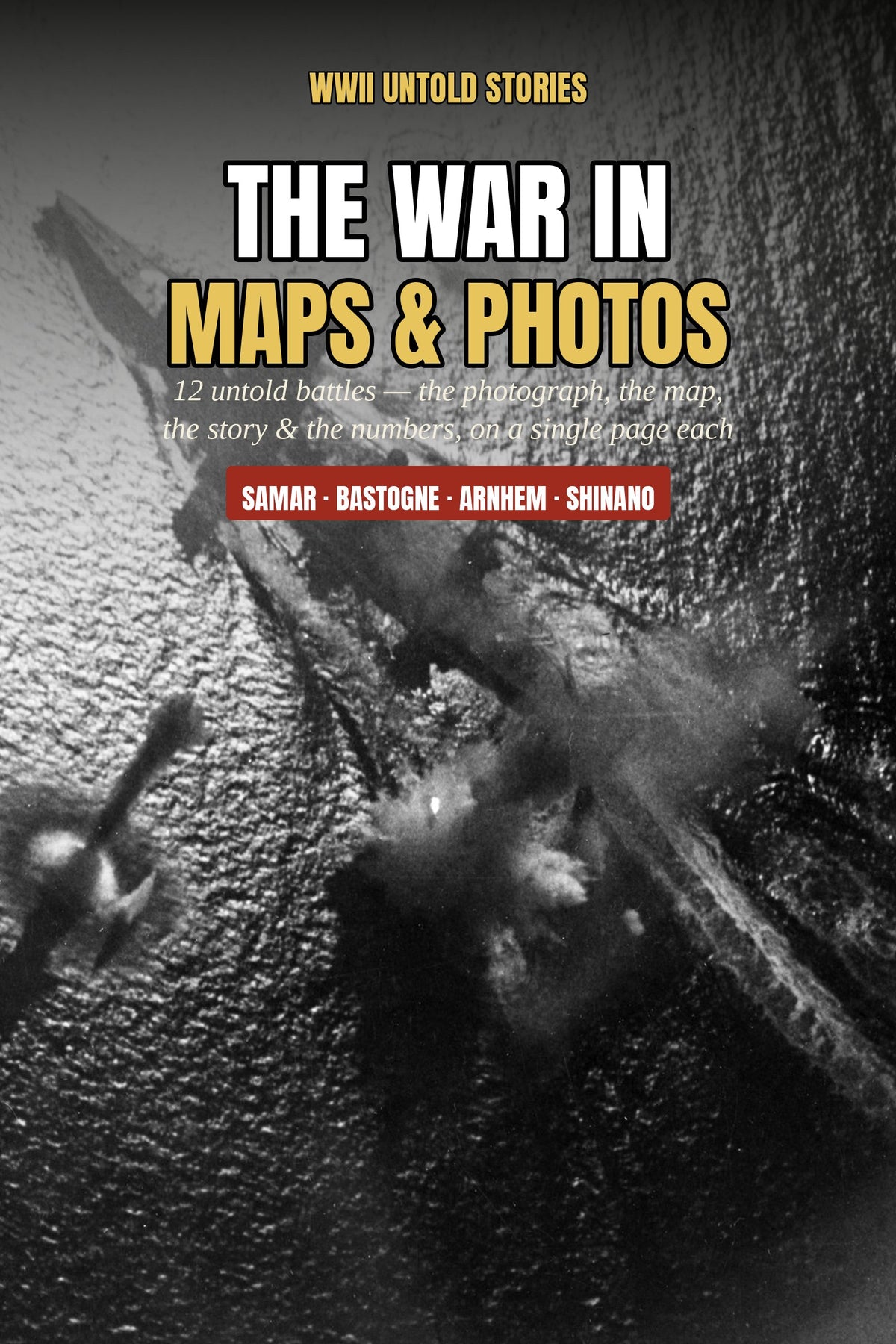
The War in Maps & Photos: 12 Untold Battles in Pictures, Plans & Battle Cards (Ebook)
The War in Maps & Photos: 12 Untold Battles in Pictures, Plans & Battle Cards (Ebook)
Couldn't load pickup availability
DIGITAL DOWNLOAD (PDF), not a printed book
See the battles. Don't just read about them.
How did three destroyers end up charging the largest battleship ever built? Where exactly did Patton turn north? How did a corpse in Spain move whole German divisions?
The War in Maps & Photos lays out 12 of the channel's greatest stories as full visual spreads, one battle per page:
- The real photograph: original wartime images from the U.S. National Archives and Imperial War Museum (public domain)
- The map: a clear schematic of each battle, with forces, arrows, the objective and where it was decided, plus a "Read the Map" guide
- The battle card: date, forces, losses and result at a glance, plus one special feature per battle
The 12 battles
Leyte Gulf · Samar · Surigao Strait · Shinano · The Yamamoto Intercept · New Guinea's Ace Race · Bastogne & the Bulge · Market Garden · The St Nazaire Raid · Operation Mincemeat · The Ghost Army · Castle Itter
14 landscape pages, made to be browsed, shared and gifted. Maps are schematics, marked "not to scale".
Format: PDF ebook, instant digital download. Read on any phone, tablet or computer. Set in a large, easy-read type size.
Refunds: message us within 7 days of purchase for a full refund.
Original writing. Photographs from U.S. government and public-domain archives, credited inside the book.